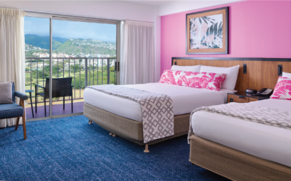
Like an emerald glistening in a velvet blue jewel case, the green peaks of Guam emerge from the surrounding waters of the Western ...
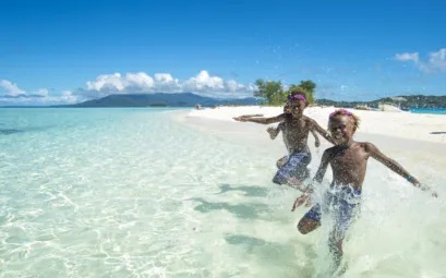
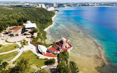
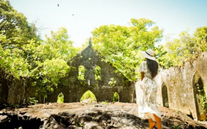
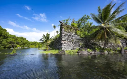
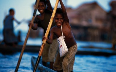
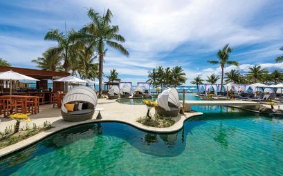
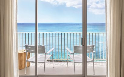
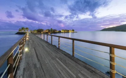
string(3703) "Like an emerald glistening in a velvet blue jewel case, the green peaks of Guam emerge from the surrounding waters of the Western Pacific. Guam is the largest and most southern island in the Mariana Islands archipelago in the northern area of the Pacific Ocean, covering 34159 square kilometres and with a population of approximately 167,000 people. Situated approximately 2494 kilometres south of Japan and 6115 kilometres west of Hawaii, Guam has pristine beaches, championship golf courses, world-class diving and snorkelling. Visitors can experience a variety of cultural and historical sites, outdoor activities as well as recreational events. As the largest and most developed island in Micronesia, Guam serves as a transportation and communications hub and is the gateway to Micronesia, a region of 2000 islands and atolls spread over five million square kilometres of the Pacific. Guam is also America’s airline link to Asia with an average flight time of around three hours to most Asian cities. The terrain of Guam is a startling contrast of limestone plateaus. The steep cliffs and narrow coastal shelves in the central and northern parts of the island are wonderful to observe. Volcanic hills range up to 204 metres which is the height of Mount Lamlam that is the tallest mountain in the world from below sea level as a result of Guam’s proximity to the Mariana Trench. Southern Guam features lush jungles and quiet seaside villages. The central area of the island has all the modern conveniences of suburban living, with restaurants, bars, shopping centres and international class resort hotels fronting Tumon and Agana Bays. Guam’s earliest settlers were the Chamorros who make up about 37 percent of the island population today. They are thought to have travelled by canoe from South-East Asia to the Mariana Islands, where they lived isolated from the rest of the world for centuries. The Chamorros flourished as an advanced fishing, horticultural, and hunting society and were skilled craftsmen who built unique houses and canoes well suited to this region of the world. They are also skilled in intricate weaving and detailed pottery making. In 1521, Ferdinand Magellan, the explorer sponsored by the Spanish court, arrived on Guam and forged a link between Spain and the Chamorros. The Spaniards’ influence lasted more than 300 years until the island became a US Territory in 1898 after the Spanish-American War. The Japanese briefly occupied the island until 1944 when it was liberated by American forces. Today, even with modern suburban living, Guam still offers abundant natural beauty. The island is blessed by year-round balmy tropical weather and cooling trade winds. Stunning coral reefs and clear crystalline blue lagoons, teeming with colourful aquatic life ring Guam’s white sand coastline. Its verdant interior is lush jungle with hidden waterfalls, rivers and volcanic ridges. Guam’s natural offerings have something for everyone above and below water. There is fishing, hiking, golf, kite and windsurfing, parasailing, scuba diving, snorkelling, jet-skiing, dolphin watching and cultural tours to name but a few. History and geography have given Guam a vibrant cosmopolitan population. The charm and warmth of the people originates from the eclectic blend of Spanish, indigenous Chamorro, Asian and Western cultures. The mix of East, West and Pacific traditions and cultures is evident and is infused in the arts and crafts, language, and especially the food of this island nation. Guam is truly an undiscovered Pacific gem and deserves to be shortlisted as one of your next holiday destinations. "